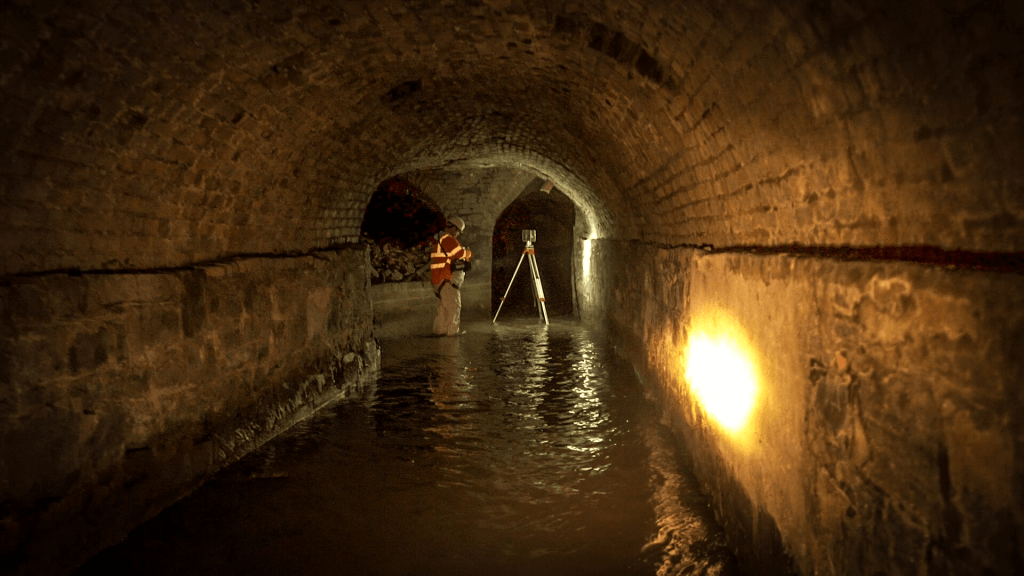


The Poddle River once flowed under the city of Dublin in a brick culvert constructed in the 1800’s. In recent times proposed development throughout the city required that the position, depth, and condition of the culverts be measured precisely.
Using a Faro Focus inverted scanner, a Leica TS30 total station, the survey teams were able to collect point cloud data above and below the ground. This data was combined to produce a full 3D model of the site. An AutoCAD drawing was produced showing the alignment of the culvert in relation to the surface features. Cross section drawings of the culvert in relation to the surface were produced at 10 meter intervals.
Phone: 045 579 148
Email: info@tir3d.ie