
Every survey your project needs.
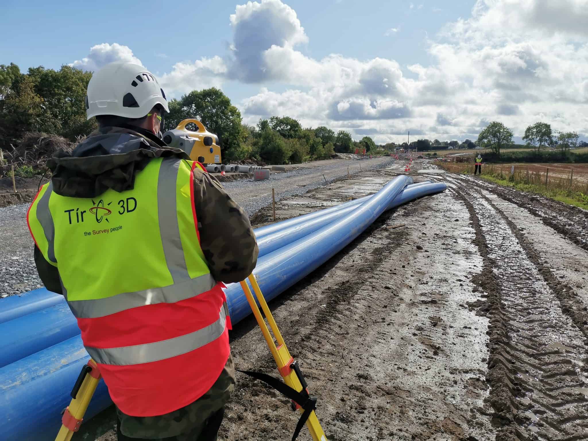
From rapid drone surveys across large infrastructure sites to millimetre-accurate laser scans of protected heritage buildings — Tir 3D covers the full range of land and engineering survey services across Ireland.
Core Services
Our most in-demand
survey capabilities.
Specialist Services
Further capabilities for specific project needs.


Save Time & Cost
Most projects benefit from combining surveys.
We regularly combine aerial, topographical, and utility surveys into a single site visit — reducing your overall cost, minimising disruption, and delivering a fully integrated dataset that your design team can use immediately. Tell us what your project needs and we’ll recommend the most efficient approach.