
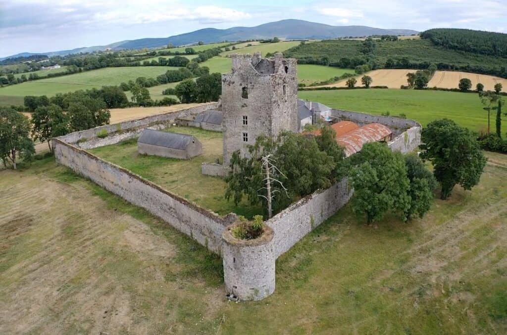
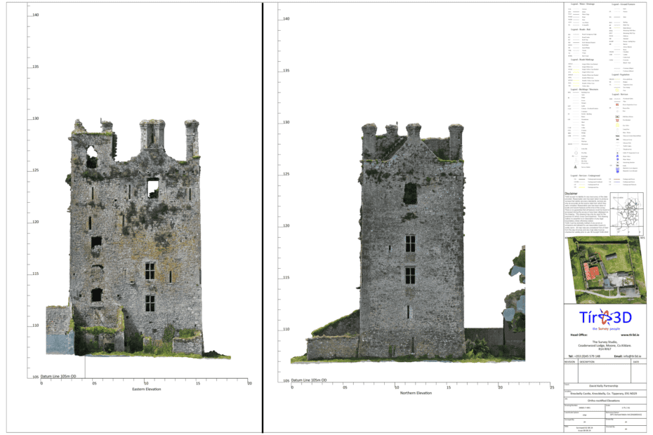

On behalf of the property owners Tir 3D were commissioned to carry out a laser scan and aerial survey of the buildings and grounds of Knockelly Tower.
Knockelly consists of several buildings, including a tower house dating from the mid-1460s that was last remodelled in 1610, and various 19th century agricultural outbuildings, all contained within an enclosure, or a bawn, built in 1560. The bawn wall incorporates gun turrets, bartizans (projecting lookout platforms) and a gate tower – the latter last extended and remodelled in 1830.
Full color 3D scanning was carried out using a Trimble TX7 high density scanner. The tower was surveyed both internally and externally. The remaining outbuildings, house and garden walls were also captured using laser scanning technology .
An aerial survey was carried out using the eBee fixed wing drone to capture the site and the DJI multi-rotor drone was used to photograph the tower.
A photogrammetric model was created of the site and tower to aid in the creation of plan drawings and SketchFab model for visualization purposes.
Using Autodesks Civil 3D and RECAP, sectional drawings, resultant elevation drawings, and external facade drawings were produced for preservation and planning permission.
Phone: 045 579 148
Email: info@tir3d.ie