



Overview
We Surveyed Dromana House and Gate in Co. Waterford using laser scanners and drones to create a 3D model of both structures.
Overview
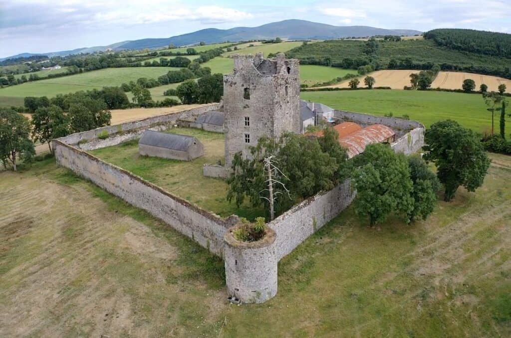
On behalf of the property owners Tir 3D were commissioned to carry out a laser scan and aerial survey of the buildings and grounds of Knockelly Tower. challenging environments.
Overview
Aerial Topographical Survey of an area for the construction of a Solar Farm.
Overview
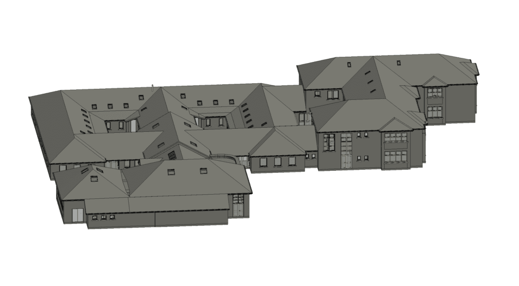
Tir 3D were commissioned to conduct a survey for a extension of a Gaelscoil to facilitate modernisation and increasing student numbers.
Instruments used to carry out the survey include laser scanning, GPS and total stations to collect accurate site data, which can then be imported into AutoCAD and Revit.
Overview
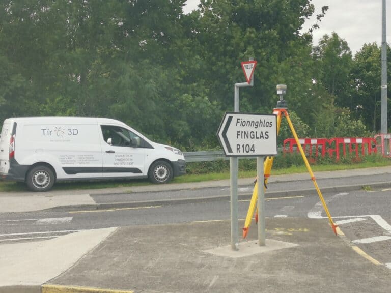
Tir3D were commissioned to carry out the topographical survey for the preferred Luas Finglas transport route between the growing communities of Charlestown, Finglas Village, Finglas west, St Helena’s, Tolka Valley to Broombridge Station where it joins the existing LUAS Green Line and the National Rail network
Overview
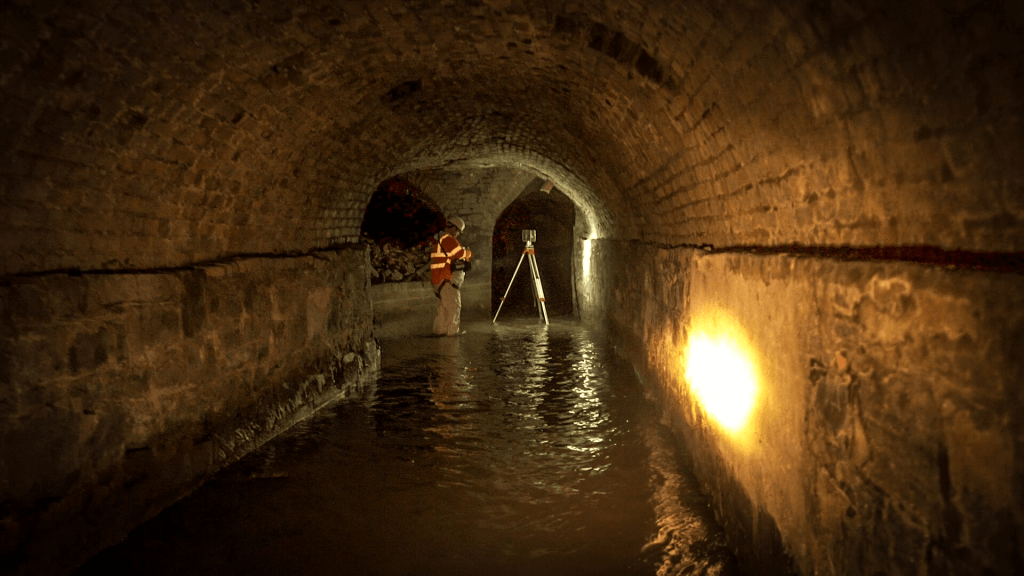
This was a sub-surface scan of the river Poddle tunnel located in Dublin. The requirement of the survey was to map the exact location of the main culvert of the river along Ship St towards Dublin castle in relation to the surface features .
Phone: 045 579 148
Email: info@tir3d.ie